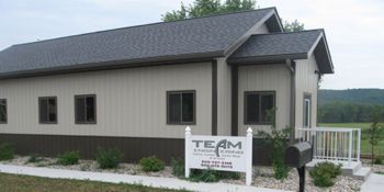
land surveying
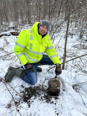
Stone set by D.B. Hulburt 1900
Sauk County
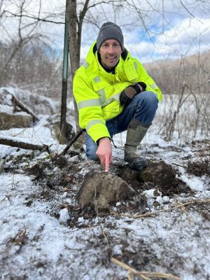
Stone set by S.P. Barney 1886
Sauk County
Why choose team
At TEAM Engineering, we bring over a decade of professional land surveying experience to every project. Led by licensed surveyor Steve and surveying crew chief Paige, our team utilizes state-of-the-art Topcon GPS technology and Civil 3D software to ensure precision and efficiency. We take a comprehensive approach—conducting thorough research on each location’s history, preparing detailed maps, executing accurate fieldwork, and carefully evaluating data before marking property boundaries. Whether you need a plat of survey, a certified survey map, or any other land surveying services, our commitment to accuracy and professionalism ensures reliable results you can trust.
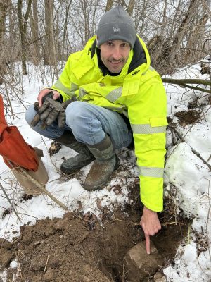
Stone set by Patterson 1890
Juneau County
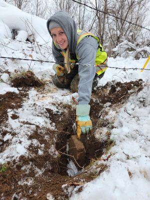
Stone set by G Schranke 1905
Sauk County
Surveying Services
Boundary Survey (Plat of Survey)
Certified Survey Map (CSM)
Topographic Survey
Subdivision Platting and Development
ALTA/Land Title Survey
Assessor’s Plats
Condominium Plats
Right of Way Plats
Transportation Project Plats (TPP’s)
Legal Descriptions
Easement Descriptions
Construction Staking
FEMA Floodplain Submittals
Remonumentation of Public Land Survey Corners
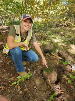
Stone set by Nathaniel Darrow 1913
Sauk County
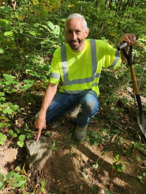
Stone set by Nathaniel Darrow 1913
Sauk County
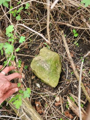
Stone set by William Knower 1882
Vernon County
Surveying Professionals

Steven Alt
Professional Land Surveyor
salt@teamenginc.com
608-768-5075


Paige Jelinek
Survey Crew Chief
pjelinek@teamenginc.com
608-768-5075


